Google Maps Apps @ uBRDO
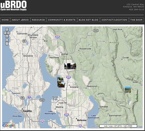

I did something like this a while back to associate latitude/longitude data with a Google map, then associate photos too it. The hard part? Getting Lat/Long associated with the photos in the first place. The ubiquitous iPhone. It uses triangulation software to approximate a location. I’ve used a GPS enabled camera, but again you face the limitations of line-of-sight. I’d love to build something like this for Vegas to photoblog the show, the ride, the race, and the social “ but in the mean time I’ll be checking out the adventures posted on Scott’s site.